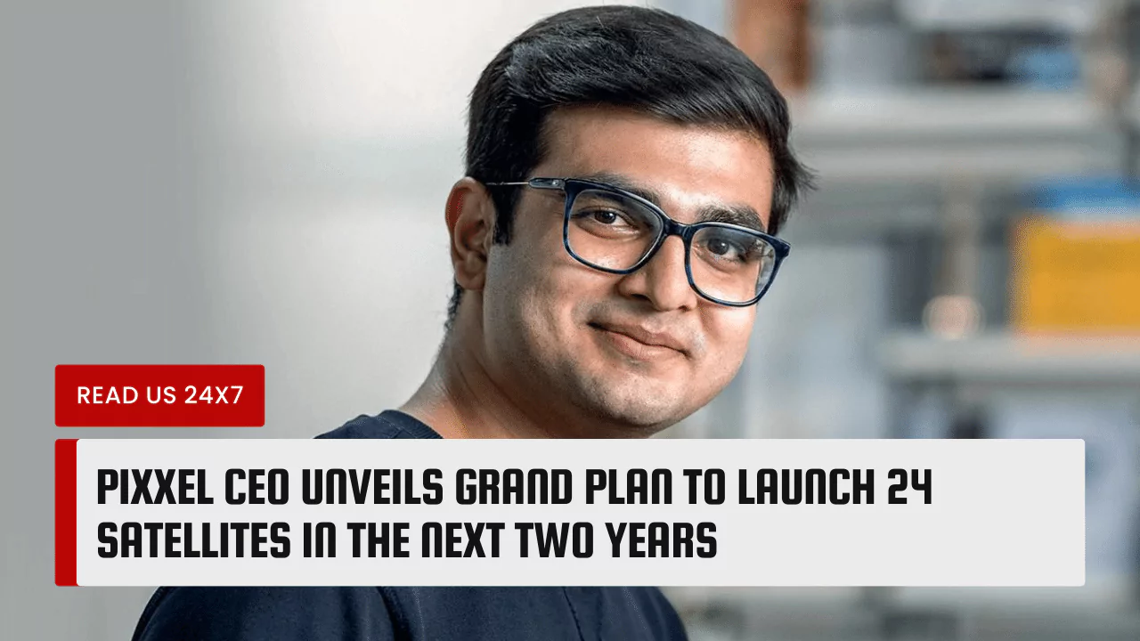
Pixxel, an Indian space-tech startup, has announced its ambitious plan to launch 24 satellites in the next two years, aiming to create a constellation of Earth imaging satellites that will provide high-resolution and hyperspectral data for various applications. The company’s founder and CEO, Awais Ahmed, said that the first satellite will be launched by November this year, followed by the second one by July 2021. Pixxel’s vision is to make satellite data affordable and accessible for everyone and to use it to solve some of the most pressing problems on the planet.
Background of Pixxel’s Satellite Launch Plans
Pixxel was founded in May 2018 by BITS Pilani graduates, Awais Ahmed and Kshitij Khandelwal, who were inspired by the potential of satellite data for improving the lives of billions of people. The company has developed a hyperspectral imaging technology that can capture images in hundreds of spectral bands, revealing details that are invisible to other satellites. Pixxel plans to launch a constellation of 24 commercial hyperspectral imaging satellites by 2024-2025, providing a 24-hour revisit period for rapid satellite imagery. The company has already launched two technology demonstration satellites, Shakuntala and Anand, in April and November 2022, respectively, and has released the first-ever set of hyperspectral images from them. Pixxel has also raised $25 million in a Series A round led by Canadian early-stage investor Radical Ventures, bringing its total funding to $33 million.
Benefits of Pixxel’s Satellite Launch
Pixxel’s satellite launch will have several benefits for various industries and sectors, such as agriculture, environment, government, energy, and mining. The company’s satellite data will enable its customers to monitor crop health, detect variations in soil and water quality, identify pests and diseases, and improve yield and efficiency. The data will also help in assessing the impact of climate change, deforestation, pollution, and natural disasters on the environment, and provide timely and accurate information for disaster management and response. Pixxel’s data will also support the government in making informed and impactful decisions for the welfare of the citizens, and provide insights into the energy and mining sectors for precise surveying and extraction of resources. Pixxel’s data will be available on an AI-informed analysis platform, which will provide actionable insights for its customers.
Challenges to Overcome
Pixxel’s satellite launch plan is not without challenges, as the company will have to overcome some technological, financial, and competitive hurdles. The company will have to ensure that its satellites are tested and validated for their performance and reliability and that they can withstand the harsh conditions of space. The company will also have to secure enough funding for its project, as launching satellites is an expensive and risky venture. Pixxel will also have to face competition from other players in the satellite imaging industry, such as Planet, Spire, and Maxar, who have already established their presence and reputation in the market. Pixxel will have to differentiate itself from its competitors by offering superior quality, affordability, and accessibility of its data.
Pixxel’s CEO, Awais Ahmed, is confident that his company will be able to achieve its grand plan of launching 24 satellites in the next two years, and create a constellation of Earth imaging satellites that will revolutionize the way we see and understand our planet. He said, “We are on a mission to democratize access to space data and empower everyone to make better decisions for the planet.”


